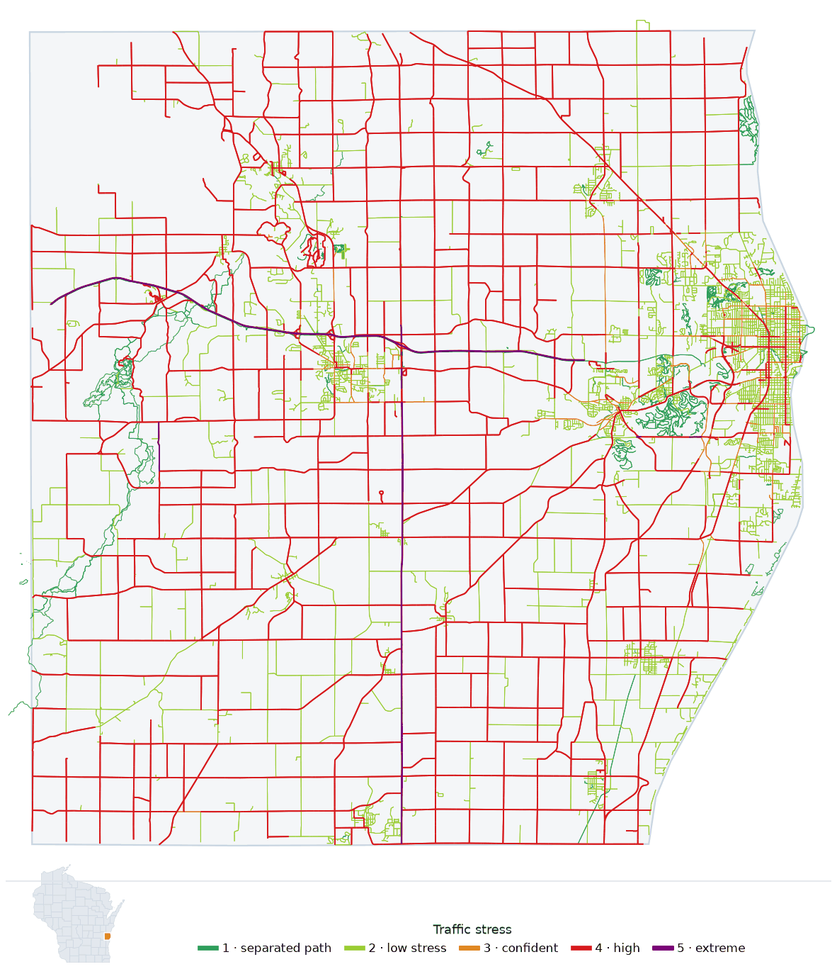
The stress picture
11%
42%
24%
22%
Too thin to label: LTS 5: 1% (42 mi)
LTS 1 is the lowest-stress tier, the one the LTS method associates with most children; LTS 2 suits most adults; LTS 3 takes a confident rider; LTS 4–5 are high-stress roads most people won't bike.
Honest limits: LTS scores come from mapped data that can be incomplete or out of date. Read the full methodology (PDF).
Local planning worth knowing in Sheboygan County
Bike Safe Wisconsin is a statewide screening model: one consistent method applied to every public road in all 72 counties, refreshed from statewide data. Local and regional agencies plan at a finer grain — with field review, local traffic counts, adopted project lists, and public input that no statewide model can replicate — and where that work exists, it deserves recognition and the first look:
- Bay-Lake RPC — CONNECT Regional Bicycle & Pedestrian Plan for Northeast Wisconsin — the adopted regional bike/ped plan covering eight northeastern counties, with an interactive story map
- WisDOT — Wisconsin Bicycle Transportation Plan — the state's long-range bicycle plan (being updated into the Active Transportation Plan 2050)
- WisDOT — county bicycle maps — printable suitability-rated bicycling map for every Wisconsin county (2020 update)
- WisDOT — Safe Routes to School program — the state program supporting safer walking and biking to school
- Wisconsin Bikeways Report (2022) — a statewide interconnected-bikeway blueprint from the WI DNR, WisDOT, and the Wisconsin Bike Fed
The two are complements: this site offers a consistent statewide baseline, a free route planner, and a second, independent lens; adopted local plans carry the detailed, community-endorsed recommendations. Know a local plan or study that belongs here? Tell us and we'll add it.
Plan a low-stress ride in Sheboygan County
Pick two places — home to school, house to park — and compare lowest-stress, balanced, and most direct options, with hill avoidance and clear warnings where you must cross a busy road. Even if the best way home crosses a county line, the planner follows it. Free, no account needed. Trips you log become the evidence your community can use to make streets safer.
Plan a route in Sheboygan County